Thornapple River Watershed Council
Mission: To protect, preserve, and enhance the quality, aesthetic, and recreational value of the Thornapple River Watershed through education, planning, and management.
Watershed Facts
The Thornapple River Watershed (TRW) is the largest subbasin of the Lower Grand River Watershed (lgrow.org)
~100 miles of river
876 square miles of watershed draining to river
742 miles of streams
227 lakes, 7,844 acres of water!
Runs through Barry, Eaton, and Kent counties
Drains into the Grand River then to Lake Michigan
Watershed land use:
52.1% agricultural production
25.8% forest
12.9% other non-production vegetation
3.3% paved road or airport
2.1% low to high density urban
1.5% water
1.5% wetland
Upcoming Events
Volunteer Monitoring Programs
MiCorps - Michigan Clean Water Corps Volunteer Stream Monitoring Program
Volunteers collect macroinvertebrate samples at sites throughout the watershed to monitor water quality conditions. Learn more and sign up at barrycd.org/waterquality
Salt & Nitrate Watch - Izaak Walton League of America
“Salt Watch and Nitrate Watch are crowd-sourced community science projects of the Izaak Walton League of America. These programs mobilize volunteers across the country to monitor chloride (road salt) and/or nitrate levels in surface water (rivers, lakes, streams) and drinking water.” -Clean Water Hub
RiverWatch
Riparian owners can voluntarily put up river cams for the public to monitor river conditions. Interested in hosting a camera? Contact us.
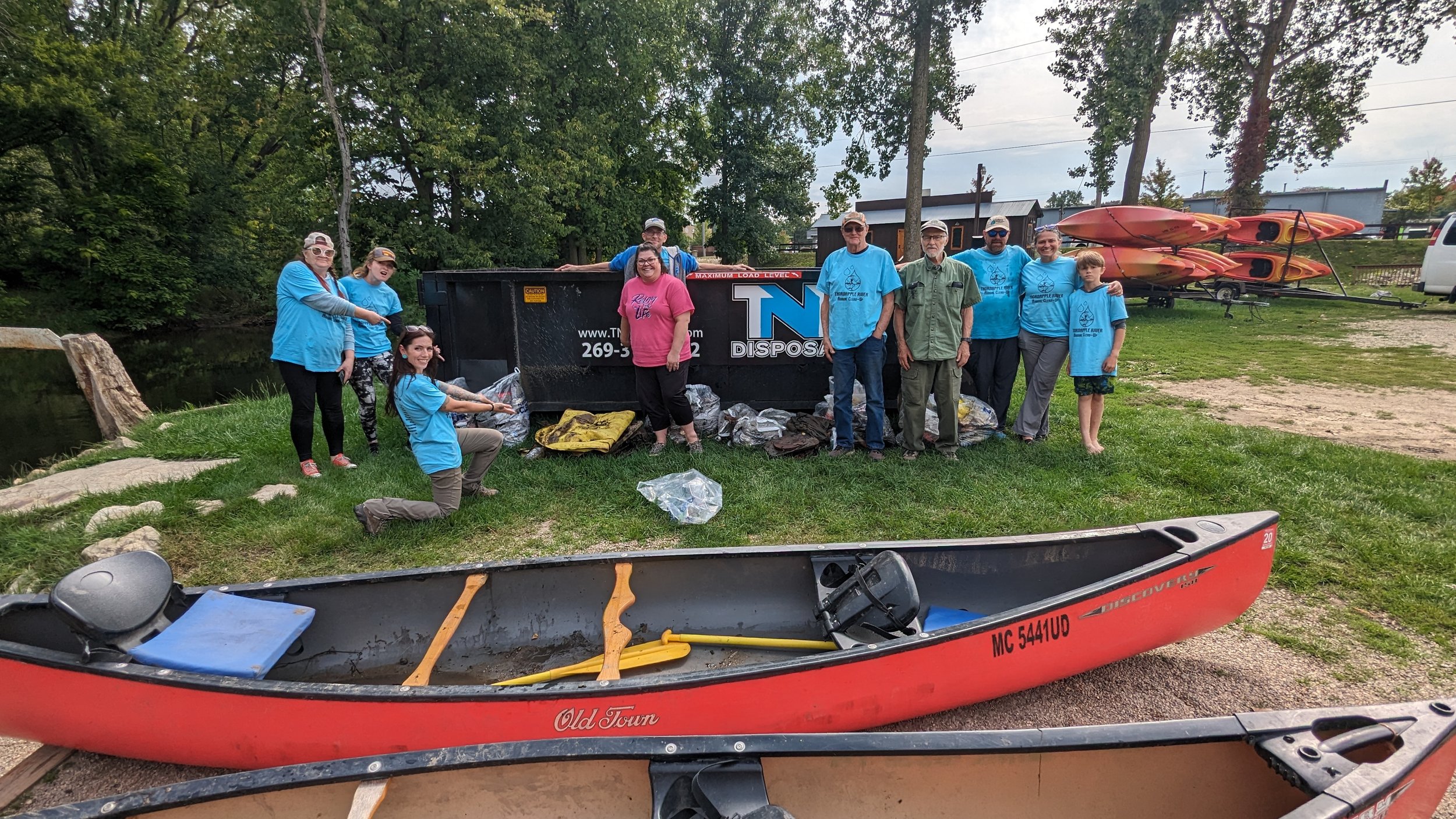
Annual Thornapple River Cleanup
You can be an important part of the Thornapple River Watershed. You can help by participating in our annual cleanup and becoming a sponsor!